
America’s National Parks
Puzzle 58 · California · Page 84 in print
Yosemite High Country
In 1872 John Muir measured the Maclure Glacier with stakes in the ice, and when scientists repeated his test in 2012, the glacier was still flowing about one inch a day.
Jump to a word
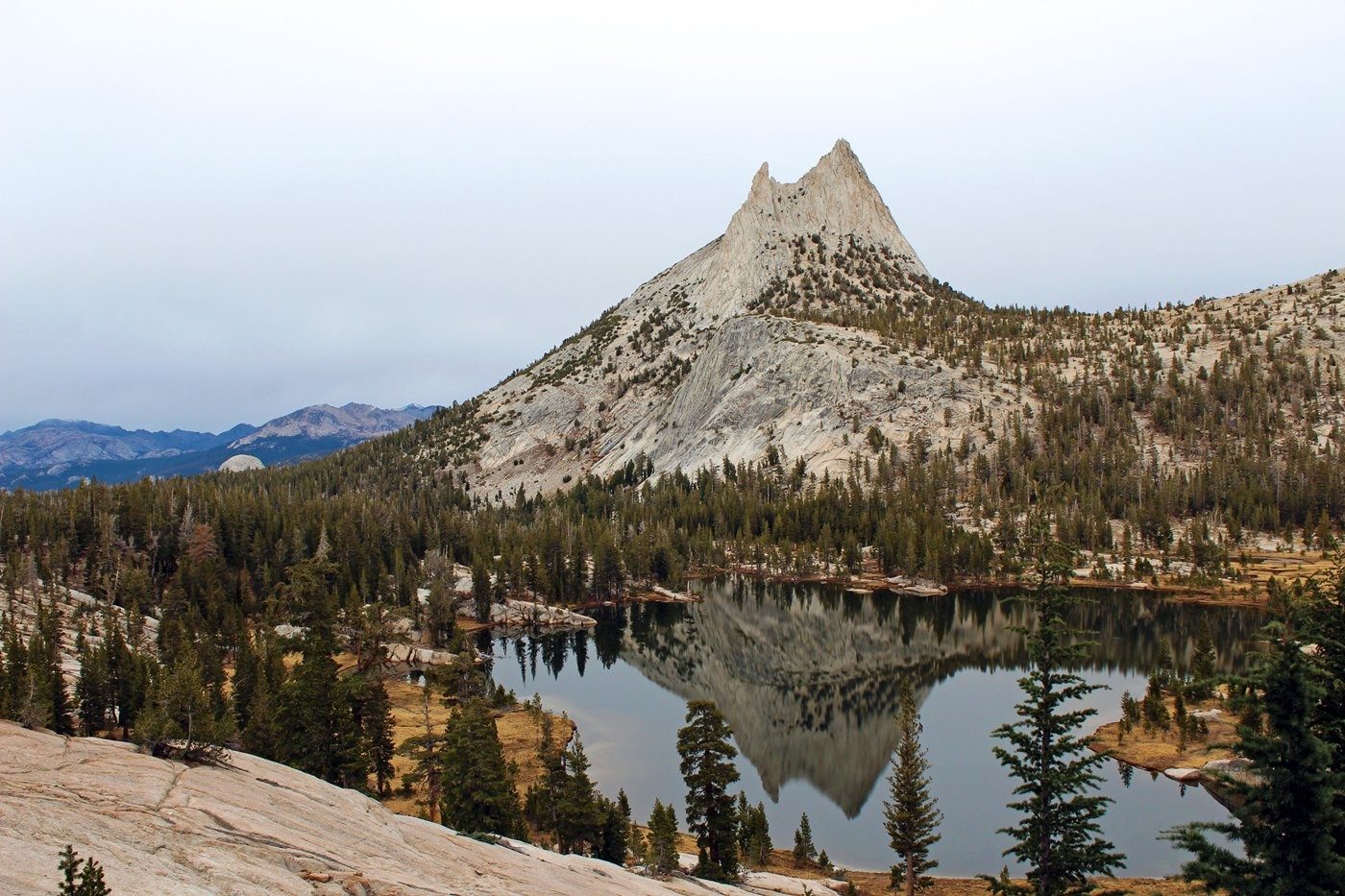
Cathedral Peak reflected in a high-country lake.
NPS / Cindy Jacoby · Public domain (U.S. federal government work) · Original recordImage changes
Resized and converted to JPEG for display; no subject alteration.
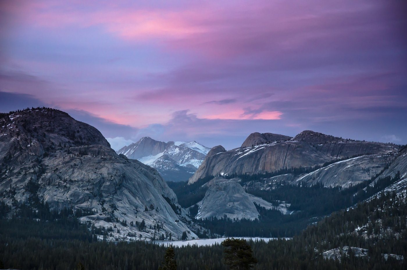
Tenaya Lake lies among Yosemite's granite mountains.
NPS · Public domain (U.S. federal government work) · Original recordImage changes
Resized and converted to JPEG for display; no subject alteration.
The words
Cathedral Peak
Cathedral Peak, the Yosemite landform sharpened where it projected above glacial ice.
Clouds Rest
Clouds Rest, the Yosemite high-country landmark visible from Olmsted Point.
Erratics
Glacial erratics, boulders carried by glaciers and left behind when the ice melted.
John Muir
John Muir, who used stakes to measure movement of the Maclure Glacier in 1872.
Lembert Dome
Lembert Dome, the granite dome just north of Tioga Road near Tuolumne Meadows.
May Lake
May Lake, the high-country lake reached by a trail from May Lake Road off Tioga Road.
Mount Dana
Mount Dana, the Yosemite high-country mountain listed at 13,057 feet.
Mount Lyell
Mount Lyell, Yosemite National Park’s highest peak, above the Lyell Glacier.
Mount Maclure
Mount Maclure, one of Yosemite’s named peaks above 12,000 feet.
Olmsted Point
Olmsted Point, the high-country overlook with views of Half Dome and Tenaya Lake.
Red Fir
Red fir, one of the trees of Yosemite’s upper montane forest along Tioga Road.
Tenaya Lake
Tenaya Lake, the frontcountry lake surrounded by Yosemite granite domes and peaks.
Tioga Pass
Tioga Pass, the mountain pass at the eastern end of the Tioga Road scenic drive.
Tuolumne
Tuolumne Meadows, the open subalpine meadow crossed by the Tuolumne River.
Yosemite Toad
The Yosemite toad, the wet-meadow amphibian encountered in Yosemite’s high country.
Sources
- Geology - Yosemite National ParkNational Park Service
- Tuolumne Meadows and Tioga Road - Yosemite National ParkNational Park Service
- Glaciers - Yosemite National ParkNational Park Service
- Day Hikes in Crane Flat and White Wolf - Yosemite National ParkNational Park Service
- Natural Resource Statistics - Yosemite National ParkNational Park Service
- Plants - Yosemite National ParkNational Park Service
- Amphibians - Yosemite National ParkNational Park Service