
America’s National Parks
Puzzle 35 · The Rocky Mountains · Page 55 in print
Grand Teton
The valley now called Jackson Hole was dubbed Davey Jackson’s Hole in 1829 by William Sublette, the trapping partner of David Jackson.
Jump to a word
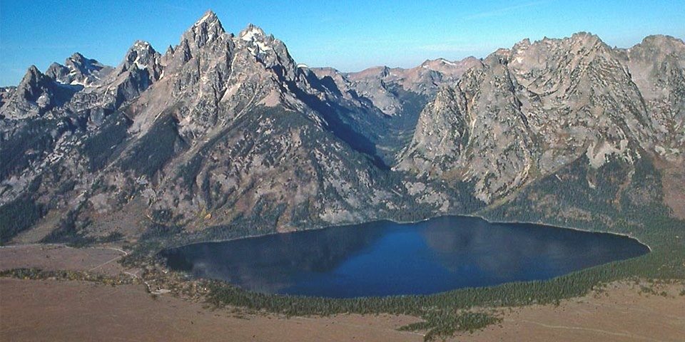
An aerial view of Jenny Lake, Cascade Canyon and the Teton Range.
NPS · Public domain (U.S. federal government work) · Original recordImage changes
Resized and converted to JPEG for display; no subject alteration.
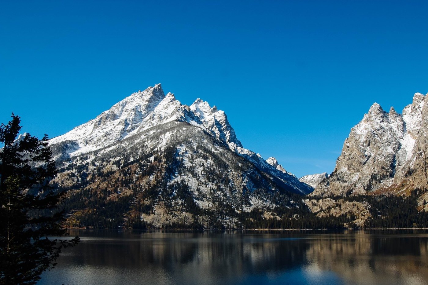
Jenny Lake from the overlook.
NPS Photo/J. Bonney · Public domain (U.S. federal government work) · Original recordImage changes
Resized and converted to JPEG for display; no subject alteration.
The words
Cascade Canyon
Cascade Canyon opens west of Jenny Lake, where shrubs support browsing moose and mule deer. Scattered boulder fields provide habitat for pikas and yellow-bellied marmots.
Grand Teton
Grand Teton belongs to the central group of granite peaks. The granite formed when magma entered older gneiss and cooled, producing rock more resistant to erosion.
Jackson Hole
Jackson Hole is the valley side of the Teton fault system. Earthquakes lifted the mountain block while lowering the valley floor, creating the range’s abrupt rise above the lowland.
Jenny Lake
Ice Age glaciers carved Jenny Lake’s basin and left ridges of rocky debris around it. The water-filled depression preserves a visible record of ice flowing out from the mountain canyons.
Did you know?
The Jenny Lake Visitor Center occupies photographer Harrison Crandall’s former studio cabin, which has been moved twice from its original location.
Park Service: Jenny Lake’s ice and history (opens a new tab)
Menors Ferry
Bill Menor chose a narrow, single channel of the Snake River for his ferry. River current powered the crossing, connecting communities before a bridge replaced the ferry in 1927.
Did you know?
When winter water levels were low, Menor carried people across the river in a cable car.
Middle Teton
Middle Teton’s northeast flank holds a glacier formed from snow that survived repeated summers. As accumulated ice thickens, gravity drives its slow movement downhill.
Did you know?
Cracks called crevasses open and close as moving glacier ice bends over uneven ground, continually changing the surface pattern.
Mormon Row
Mormon homesteaders arriving in the 1890s clustered farms east of Blacktail Butte to share work and community. Irrigation ditches helped them grow crops despite Jackson Hole’s harsh farming conditions.
Did you know?
The U.S. Post Office named the community Grovont, a reminder that the historic settlement had its own postal identity.
Mount Moran
Mount Moran exposes a dark band of diabase, formed when magma filled a crack in older rock. Remnant sandstone on its summit records a later chapter of deposition.
Oxbow Bend
Oxbow Bend’s slow water supports fish that feed otters, ospreys, eagles and other birds. Willows along its edges provide browse for moose, linking river habitat with the surrounding woodland.
Pronghorn
Pronghorn summering in the Teton sagebrush flats migrate south and east as winter approaches. Fences and roads constrain their route, making protection of connected seasonal habitat important to their survival.
Rockefeller
John D. Rockefeller Jr. bought valley land through the Snake River Land Company. His purchases and eventual donation became part of the prolonged negotiations behind the park’s expansion in 1950.
Snake River
Much of the Snake River divides into braided channels, but Menor found a narrower crossing near Moose. The river’s changing flow shaped how residents transported people and supplies across the valley.
Sublette
William Sublette worked in the beaver-fur trade that drew trapping partners into Jackson Hole. Overtrapping and changing fashions helped bring that brief commercial era to an end by the 1840s.
Teewinot
Teewinot’s striped appearance records granite cutting through older gneiss. These contrasting rocks formed deep underground long before fault movement raised the Teton Range above Jackson Hole.
Sources
- Jenny Lake - Grand Teton National ParkNational Park Service
- Geologic Activity - Grand Teton National ParkNational Park Service
- Menors Ferry - Grand Teton National ParkNational Park Service
- Glaciers & Glacial Features - Grand Teton National ParkNational Park Service
- Wildlife Viewing - Grand Teton National ParkNational Park Service
- Cultural History - Grand Teton National ParkNational Park Service
- Mormon Row - Grand Teton National ParkNational Park Service
- Path of the Pronghorn TurnoutNational Park Service
- Hidden FallsNational Park Service