
America’s National Parks
Puzzle 45 · The Colorado Plateau · Page 67 in print
Canyonlands
Early settlers called the pikeminnow the “Colorado salmon,” probably because it swam up to 200 miles through white water to spawn; it could grow six feet long and weigh over 100 pounds.
Jump to a word
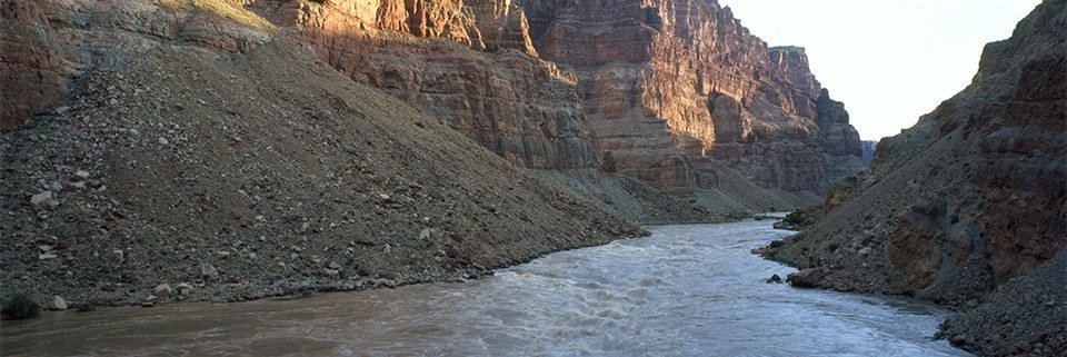
Sunrise at the Big Drops in Cataract Canyon.
NPS/Neal Herbert · Public domain (U.S. federal government work) · Original recordImage changes
Resized and converted to JPEG for display; no subject alteration.
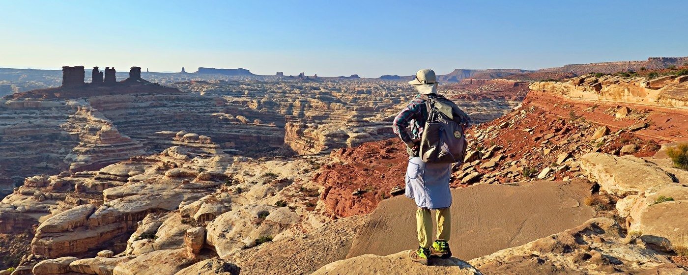
The remote country seen from the Maze Overlook.
NPS/Paul Magnanti · Public domain (U.S. federal government work) · Original recordImage changes
Resized and converted to JPEG for display; no subject alteration.
The words
Cataract
Cataract Canyon, the whitewater canyon below the Green and Colorado confluence.
Chesler Park
Chesler Park, the open grass-and-shrub landscape surrounded by sandstone spires.
Colorado River
The Colorado River, one of the two rivers meeting in Canyonlands.
Confluence
The Confluence, the junction of the Green and Colorado rivers.
Druid Arch
Druid Arch, the named rock arch reached through Elephant Canyon.
Grabens
The Grabens, the named backcountry landscape in the Needles district.
Great Gallery
The Great Gallery, the rock-art site in Horseshoe Canyon.
Maze
The Maze, the remote backcountry district of Canyonlands.
Mesa Arch
Mesa Arch, the natural arch at a cliff edge in Island in the Sky.
Needles
The Needles, the district named for colorful Cedar Mesa Sandstone spires.
Pothole Point
Pothole Point, the slickrock trail area containing pothole communities.
Shafer Trail
Shafer Trail, the steep and exposed route associated with White Rim Road.
Stewart Udall
Stewart Udall, the Interior secretary who supported creation of Canyonlands.
Upheaval Dome
Upheaval Dome, the distinctive geologic feature viewed from an overlook trail.
White Rim
The White Rim bench, the bench below Island in the Sky followed by White Rim Road.
Sources
- Rivers - Canyonlands National ParkNational Park Service
- Hiking - Canyonlands National ParkNational Park Service
- Backpacking - Canyonlands National ParkNational Park Service
- Four-Wheel-Drive Roads in the Maze - Canyonlands National ParkNational Park Service
- The Needles - Canyonlands National ParkNational Park Service
- White Rim Road - Canyonlands National ParkNational Park Service
- Bates E. WilsonNational Park Service